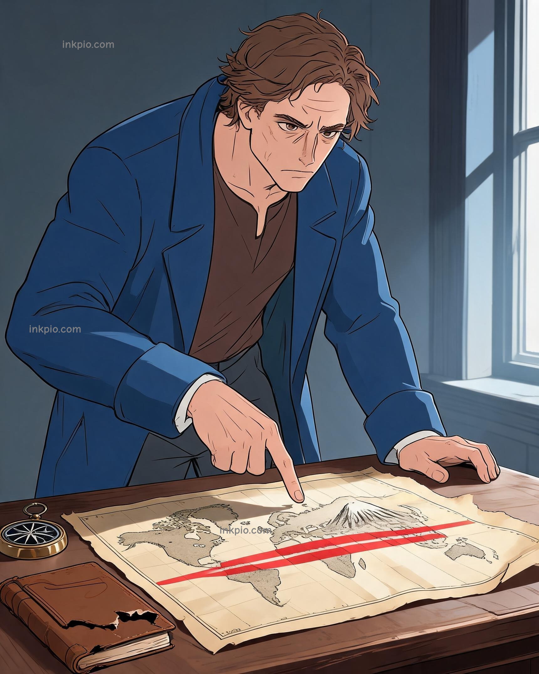


A sailor in 1560 could follow his compass needle straight north and still crash into a reef. The flat maps on his table lied.
Sailors trusted brass compasses, but the charts betrayed them. Traditional maps kept land areas correct by squishing continents near the poles. That trick made straight sea routes curve wildly on paper. A captain drawing a direct line would steer into open water, while a curved line on the map actually meant sailing straight. Ships vanished in the open ocean because the geometry of a sphere refused to lie flat without tearing.
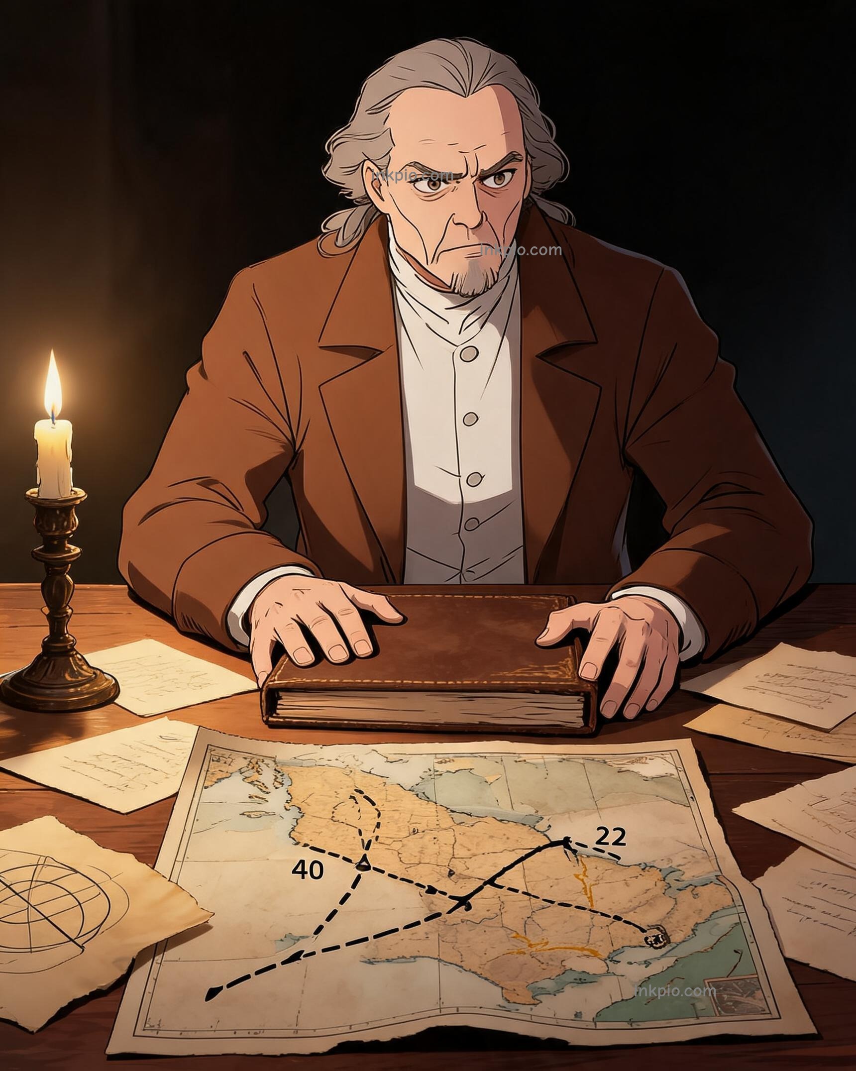
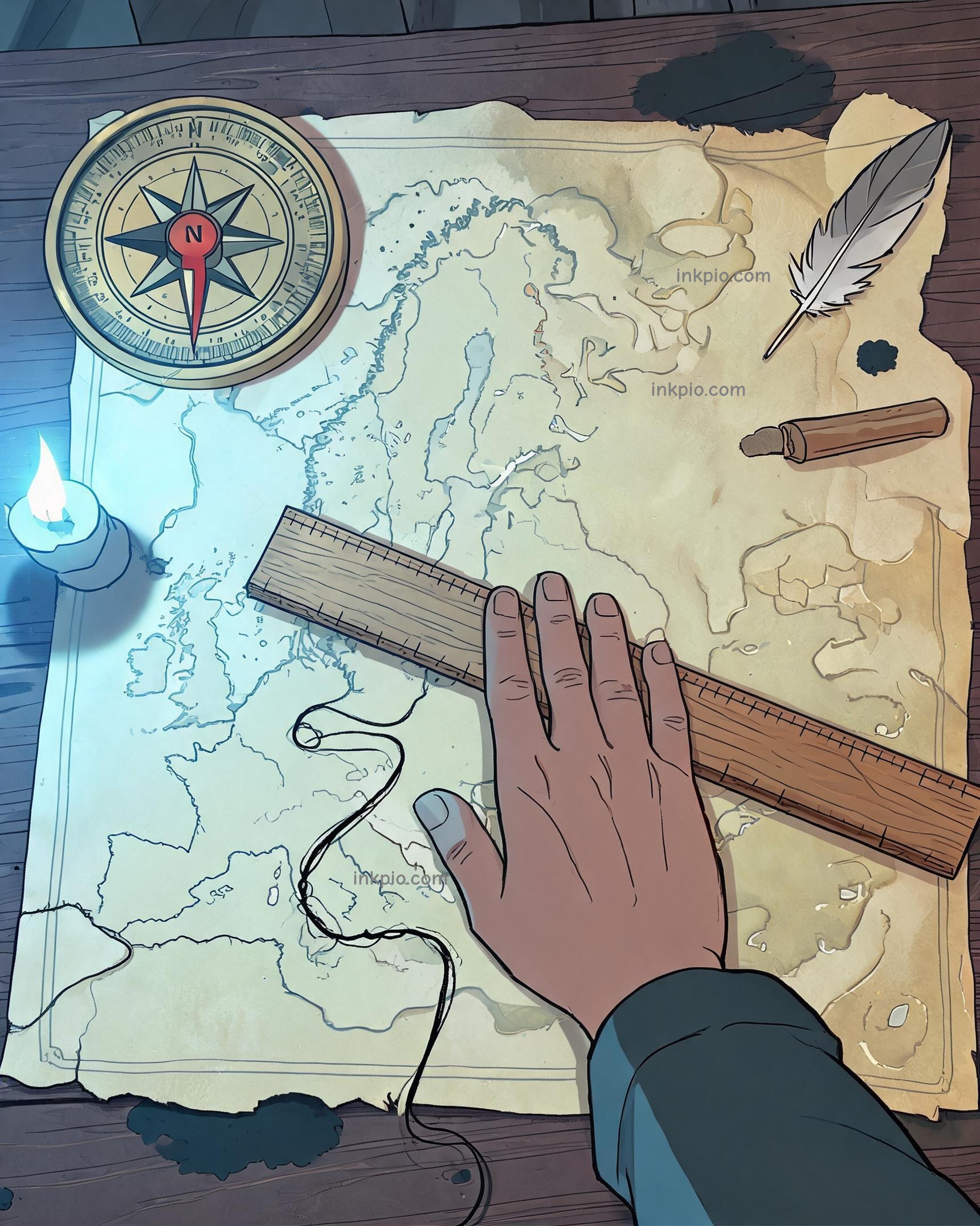
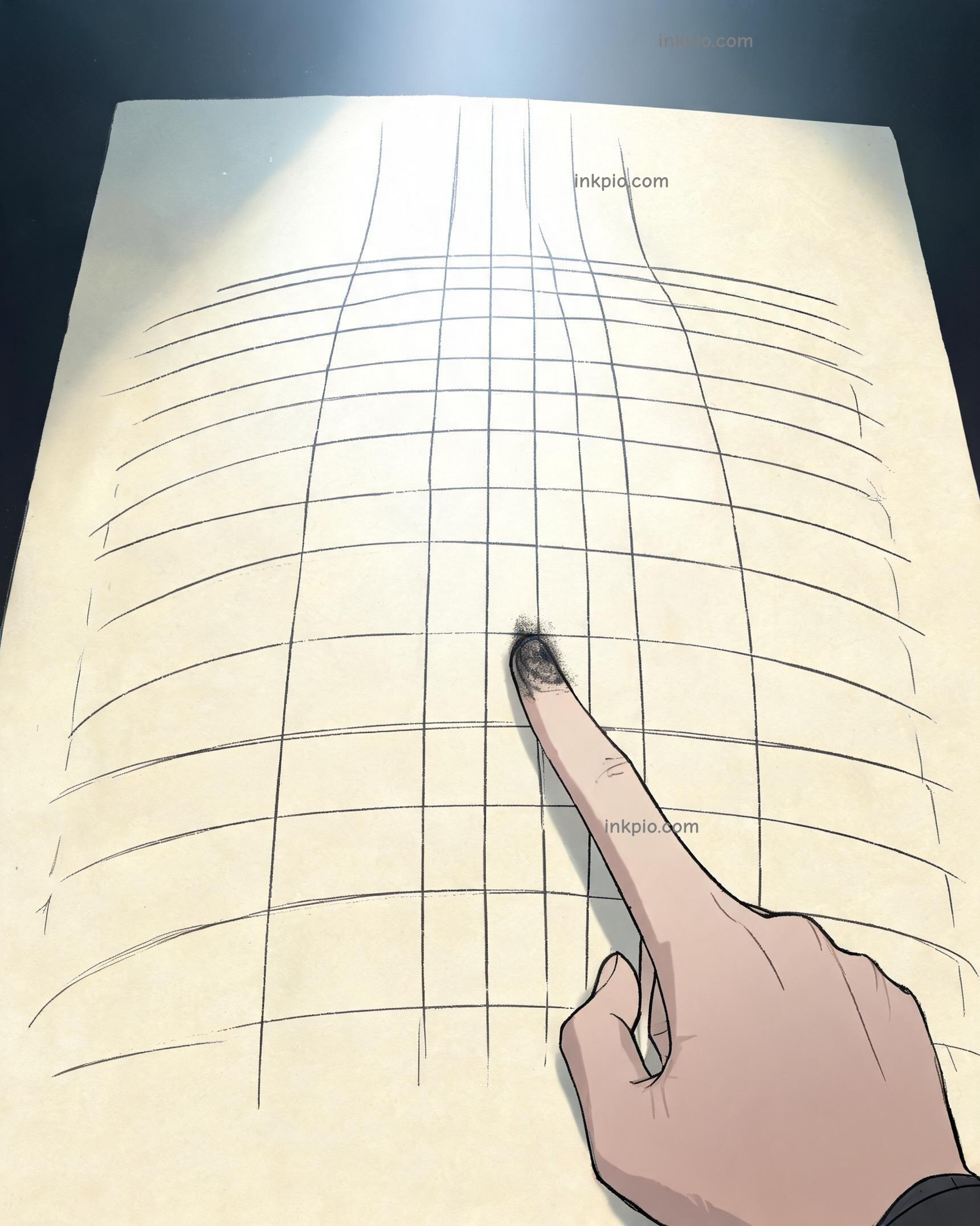
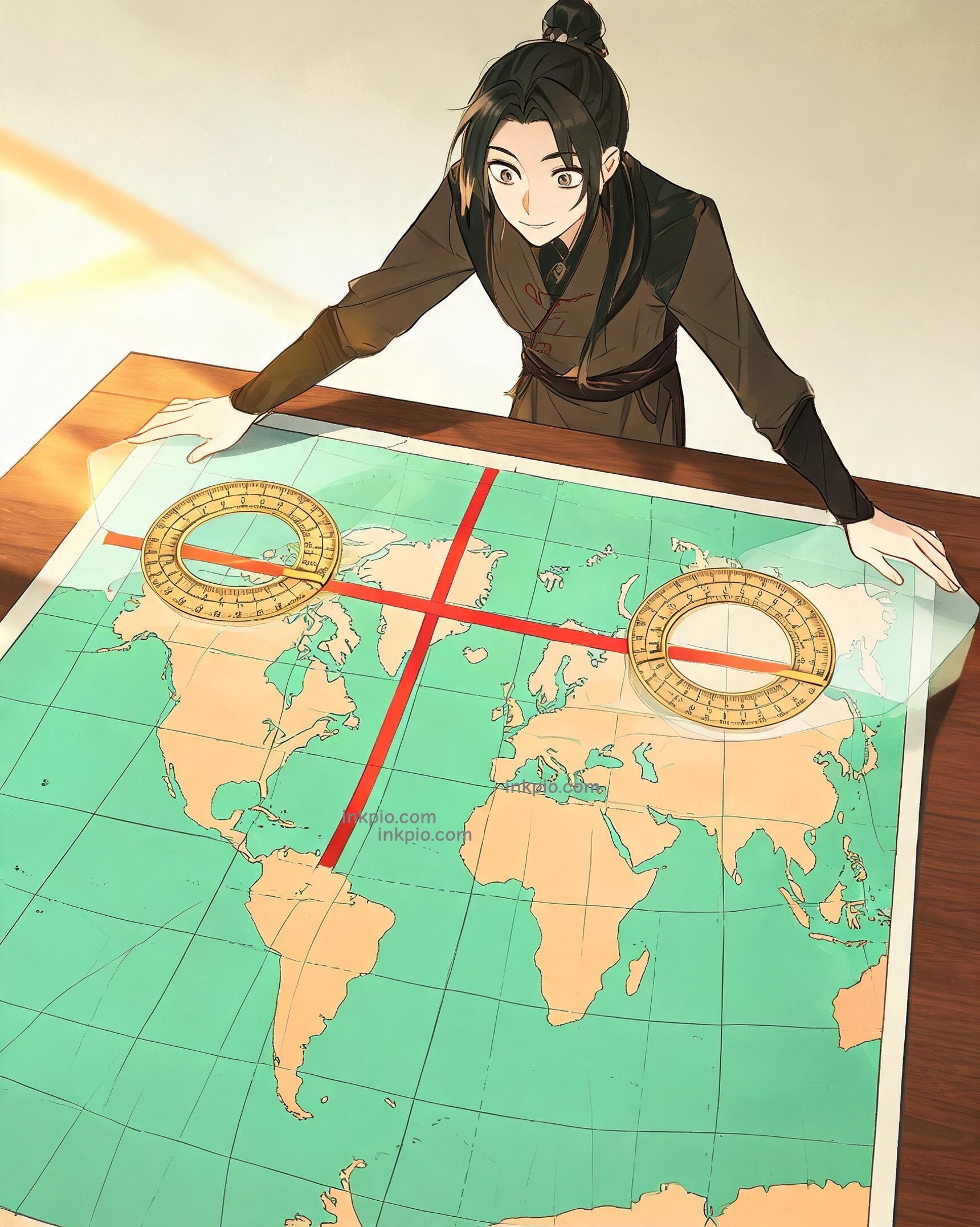
Gerardus Mercator stared at a cracked portolan chart in his study and decided to stop pretending the Earth was a flat sheet. He started with a blank roll of parchment and a steady compass bearing. He wrapped the paper around a wooden globe like a cylinder, then pulled the horizontal latitude lines farther apart as they climbed toward the poles. Imagine stretching a rubber sheet over a grid, because pulling the top and bottom wider keeps the squares perfectly square instead of flattening them out. That deliberate stretch preserved every angle on the page, turning the sphere into a seamless flat sheet where a straight ruler line finally matched a constant sea bearing.
The math clicked. He published the 'Nova et Aucta Orbis Terrae Descriptio' in Duisburg, 1569, and the layout changed how captains read the water. Navigators simply laid a ruler across the Atlantic, measured one angle, and sailed it without second-guessing the curve. The chaotic ocean became a predictable grid.
Mercator leaned over the fresh print as morning light hit his desk. The brass compass needle and the paper finally agreed. Captains stopped guessing at phantom coastlines and just followed the straight line.